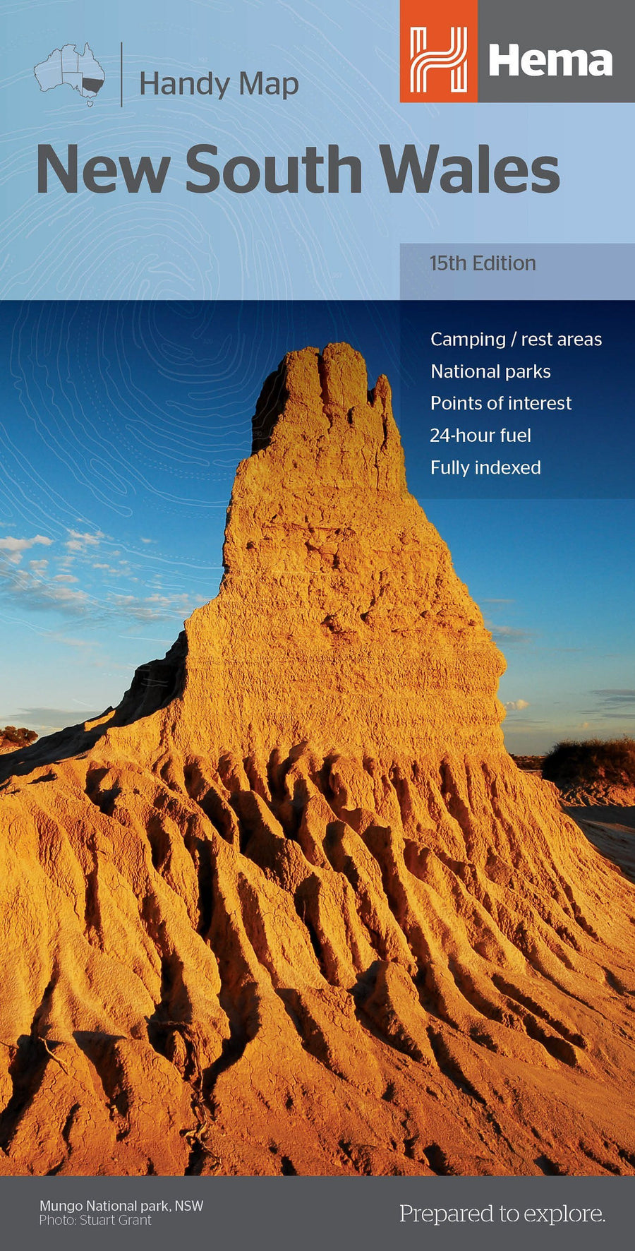
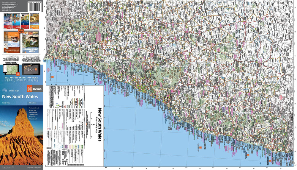
Carte de de l'état de la Nouvelle-Galles du Sud (State & Suburban) éditée par UBD Gregory's.
Description de l'éditeur :
The latest edition of the New South Wales state and suburban map has been fully revised and updated.
It includes state mapping at a scale of 1: 1 600 000 plus an index to towns and localities on one side and on the other side there is Sydney and surrounds suburban coverage north to Gosford, south to Douglas Park and Stanwell Park, along the coast from Palm Beach to Coalcliff and west to Springwood plus an index to the suburbs and localities included on this map.
With all this information contained in this handy fold up map this is an essential tool when travelling around New South Wales and the Sydney region.
ISBN/EAN : 9780731932535
Date de publication : 2020
Echelle : 1 / 1 600 000 (1 cm = 16 km)
Dimensions plié(e) : 12 x 25 cm
Langue(s) : anglais
Poids :
79 g