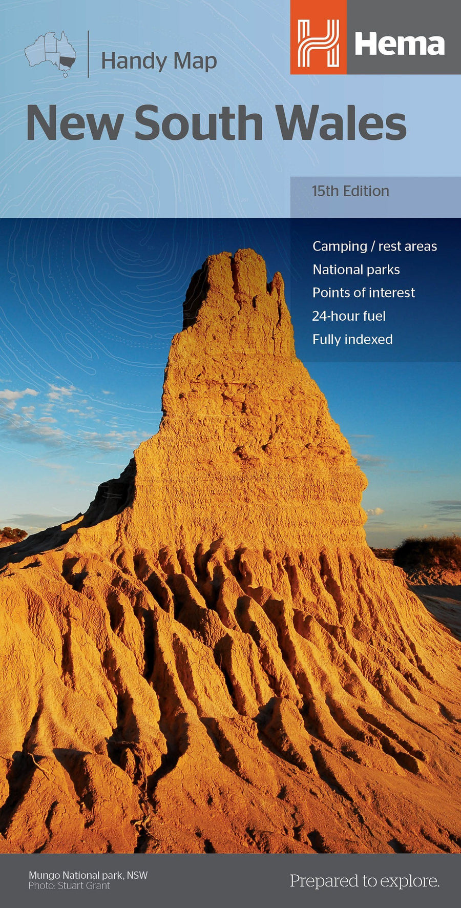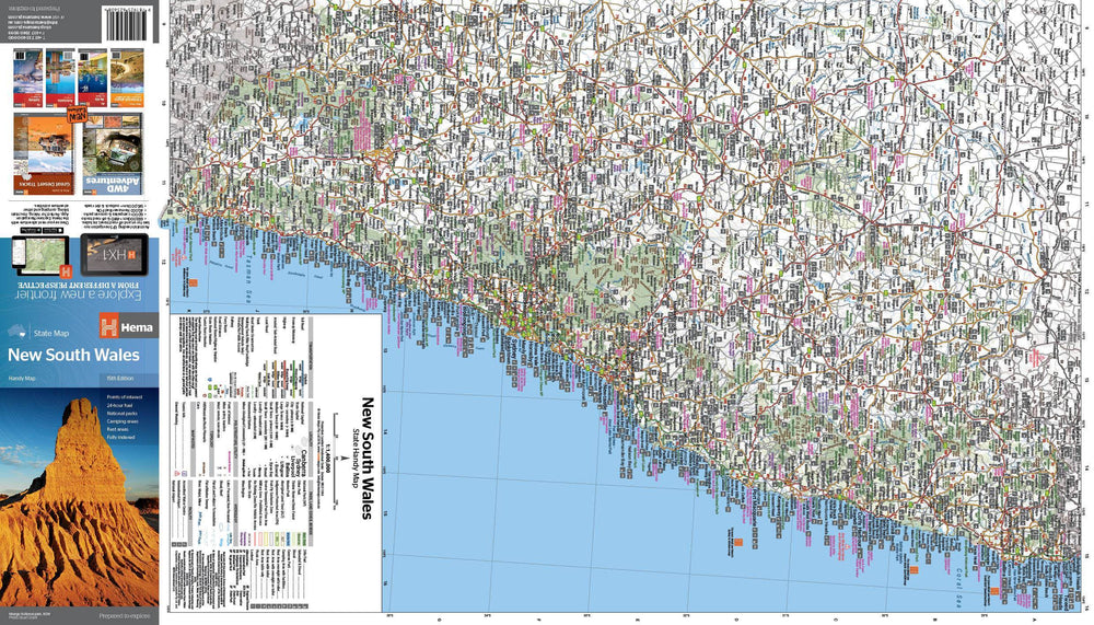

Plan & Carte régionale - Wagga Wagga & Riverina (Nouvelle-Galles du Sud), n° 284 | UBD Gregory's
Plan & Carte régionale - Wagga Wagga & Riverina (Nouvelle-Galles du Sud), n° 284 | UBD Gregory's
Prix régulier
11,50 €
- Expédition sous 24 h ouvrées depuis notre entrepôt en France
- Frais de livraison calculés instantanément dans le panier
- Retours gratuits (*)
- Stocks en temps réel
- 1 en stock
Zones géographiques et catégories liées : Nouvelle-Galles du Sud